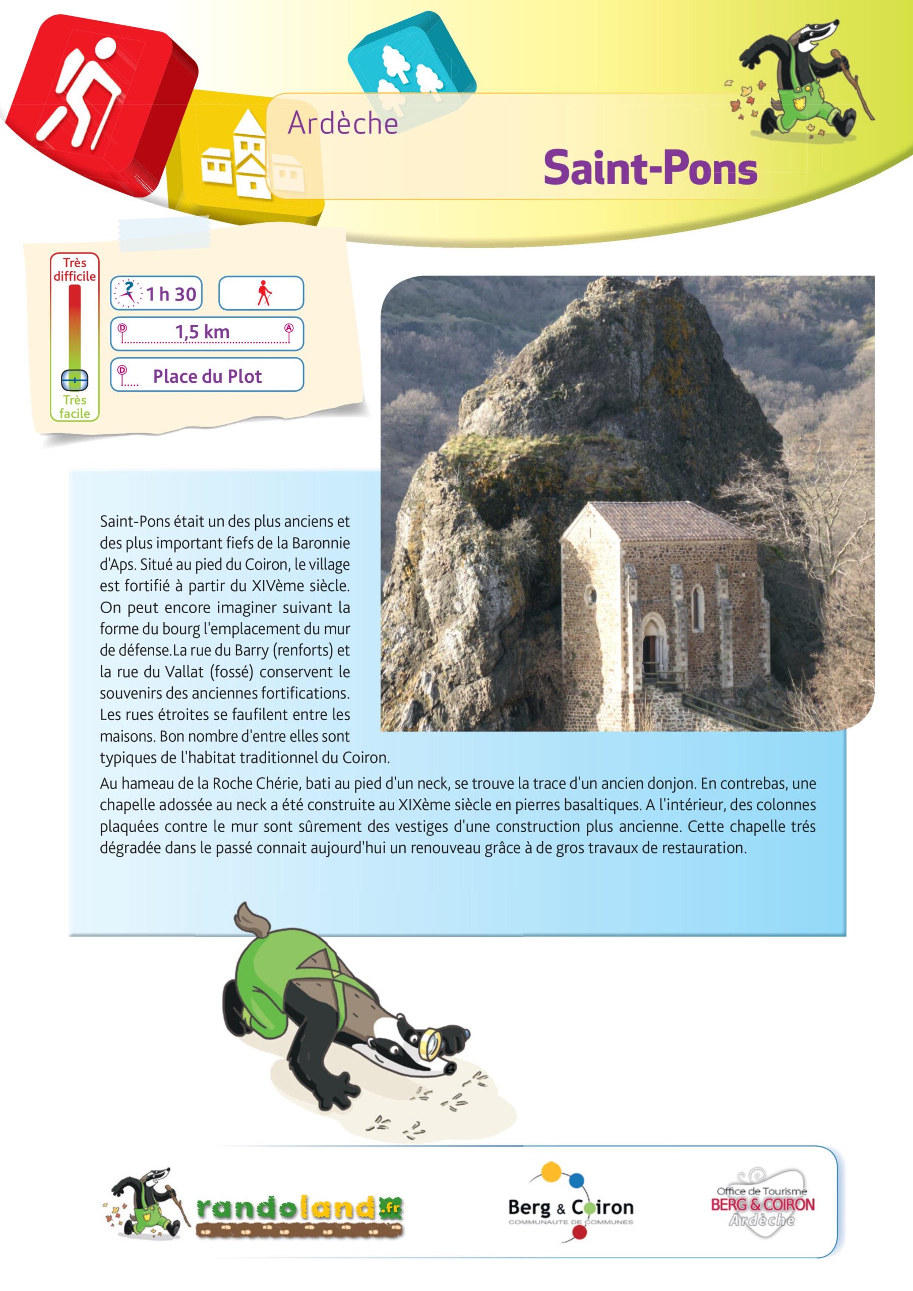
“Discover the village” Path
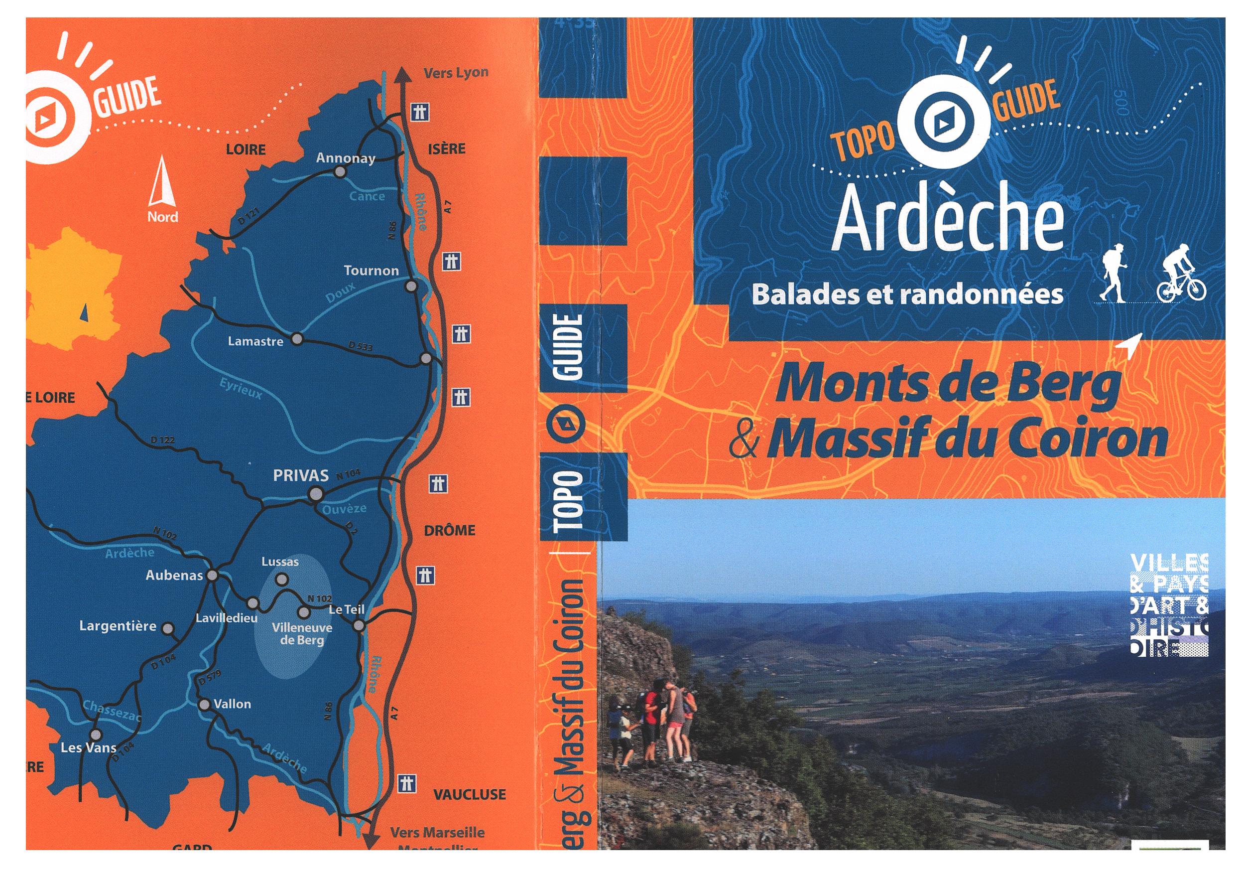
Walking tour n°9 included in the topo guide "Monts de Berg & Massif du Coiron". Loop of 1.5 km, easy level Lenght: 1/2h Route possible with a mountain bike
Walking tour n°9 included in the topo guide "Monts de Berg & Massif du Coiron". Loop of 1.5 km, easy level Lenght: 1/2h Route possible with a mountain bike
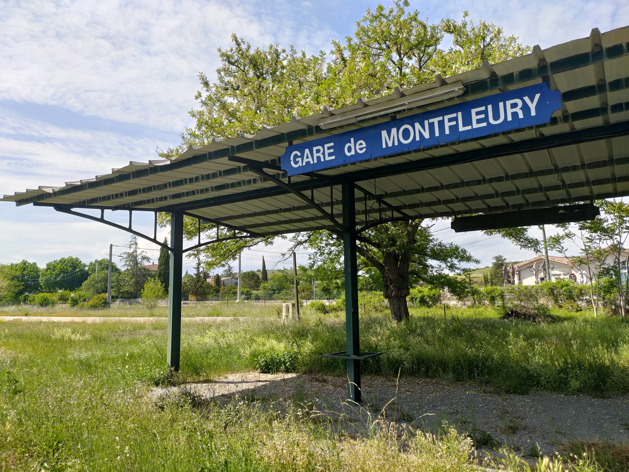
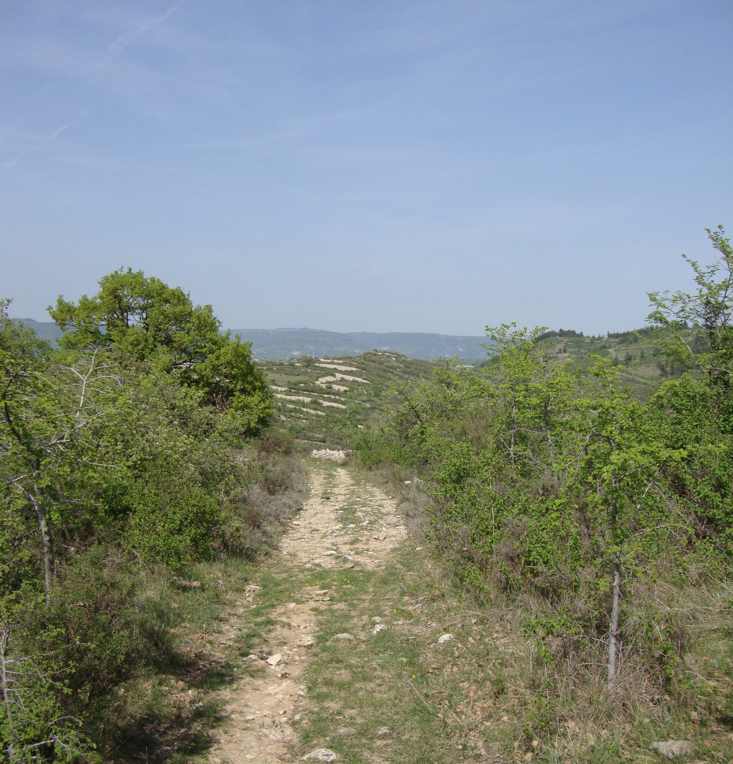
The greenway, named Via Ardèche, is a cycle path between Montfleury and St Jean le Centenier. A route completely safe, developed on the old railway line.
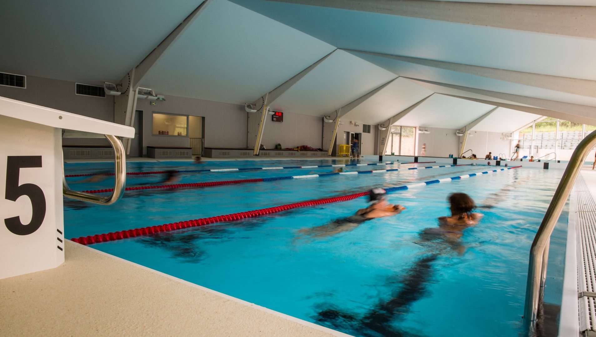
The Hippocampe swimming pool is an indoor pool open all year round. It comprises 2 pools.
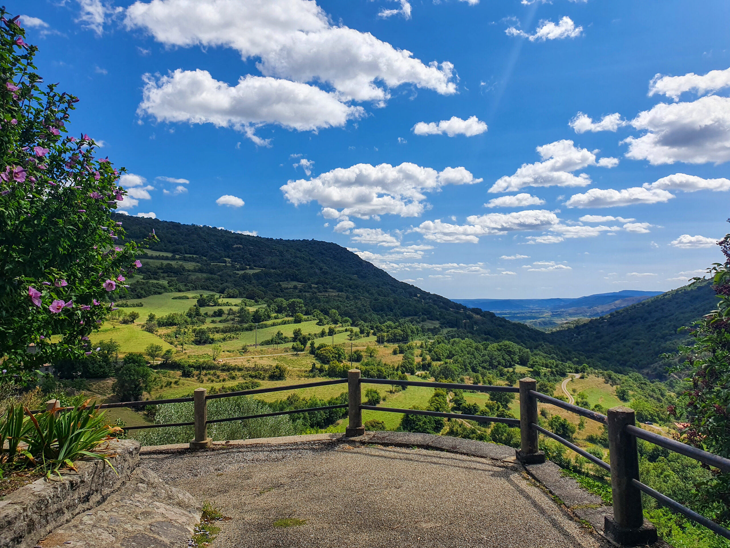
Walking tour n°15 included in the topo guide "Monts de Berg & Massif du Coiron". Loop of 13km, medium level Lenght: 3h30 Route possible with a mountain bike: medium level (lenght: 2h)
Rock climbing sit with 157 circuits from beginners to more advanced levels....
Fun walk for the whole family to discover the village and its secrets. Free download on the website of the Tourist Office "Berg et Coiron" or available at the office. N.B: Only in French, no translation available at the present time.
Fun walk for the whole family to discover the village and its secrets. Free download on the website of the Tourist Office "Berg et Coiron" or available at the office. N.B: Only in French, no translation available at the present time.
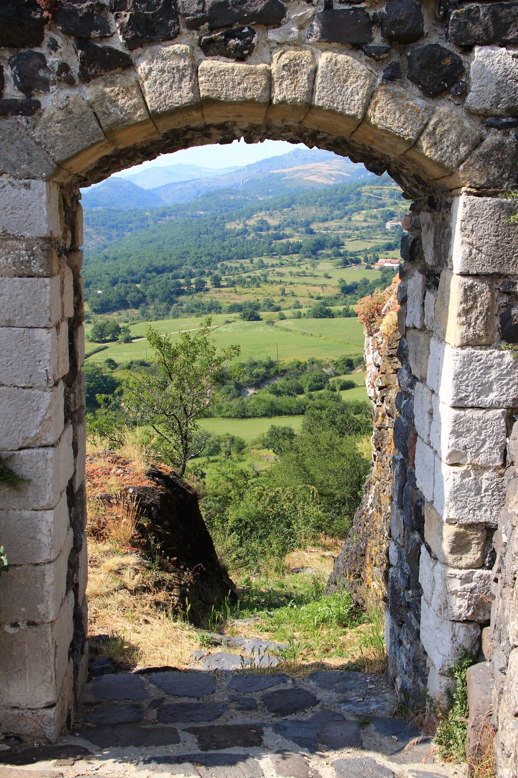
By foot, by horse or by cycle, relax you with 16 marked walking on the area of Berg and Coiron.
Walking tour n°2 included in the topo guide "Monts de Berg & Massif du Coiron". Loop of 14.5km, medium level Lenght: 4h30
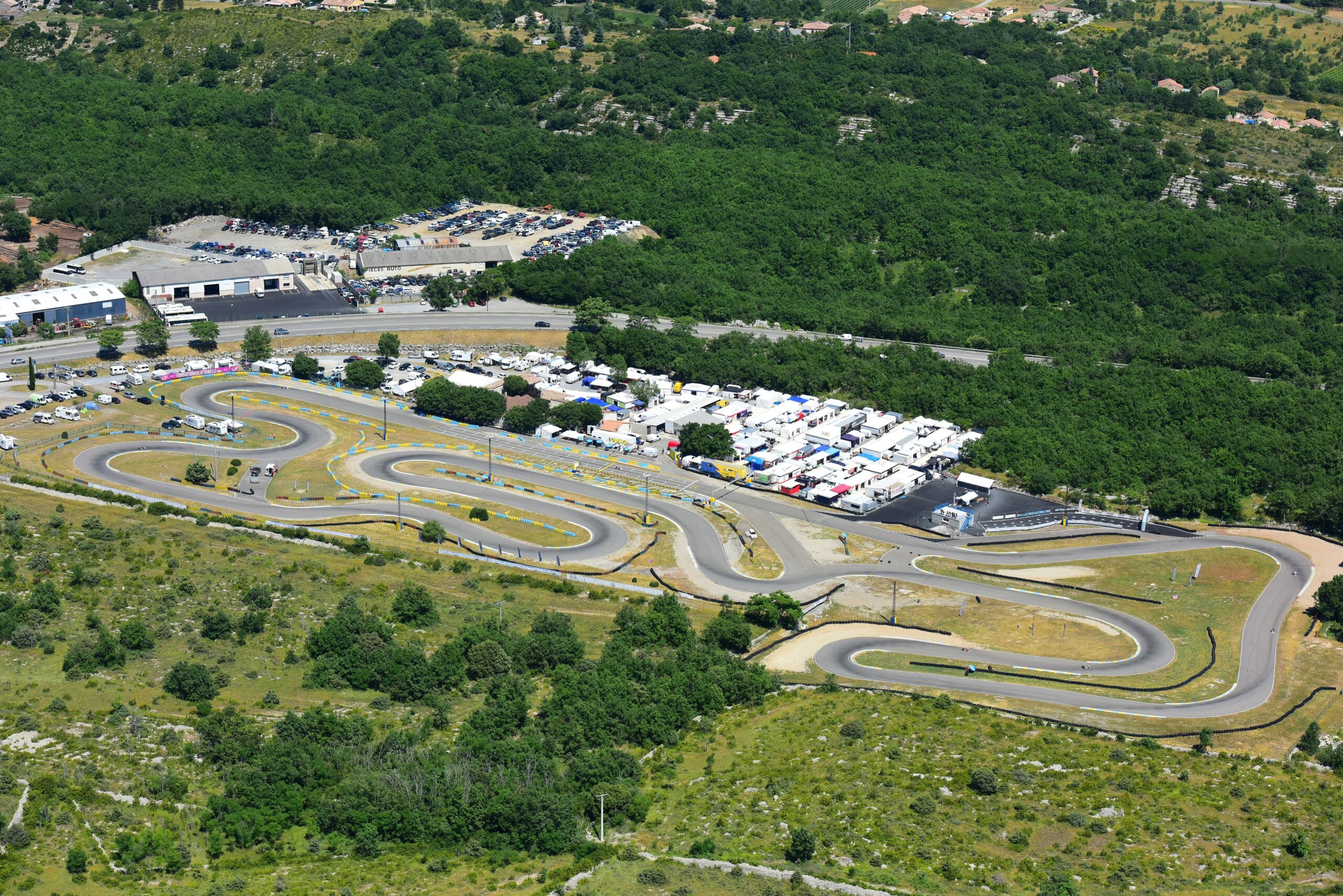
Go-kart hire for ages 6 to 99. Organisation of challenges and endurance events. On a 1km 300 French championship track. Electric motorbike and car track for children under 6. In summer, night karting sessions until midnight on Thursdays !