


Village of Saint-Maurice-d'Ibie
Photos
Information
Description
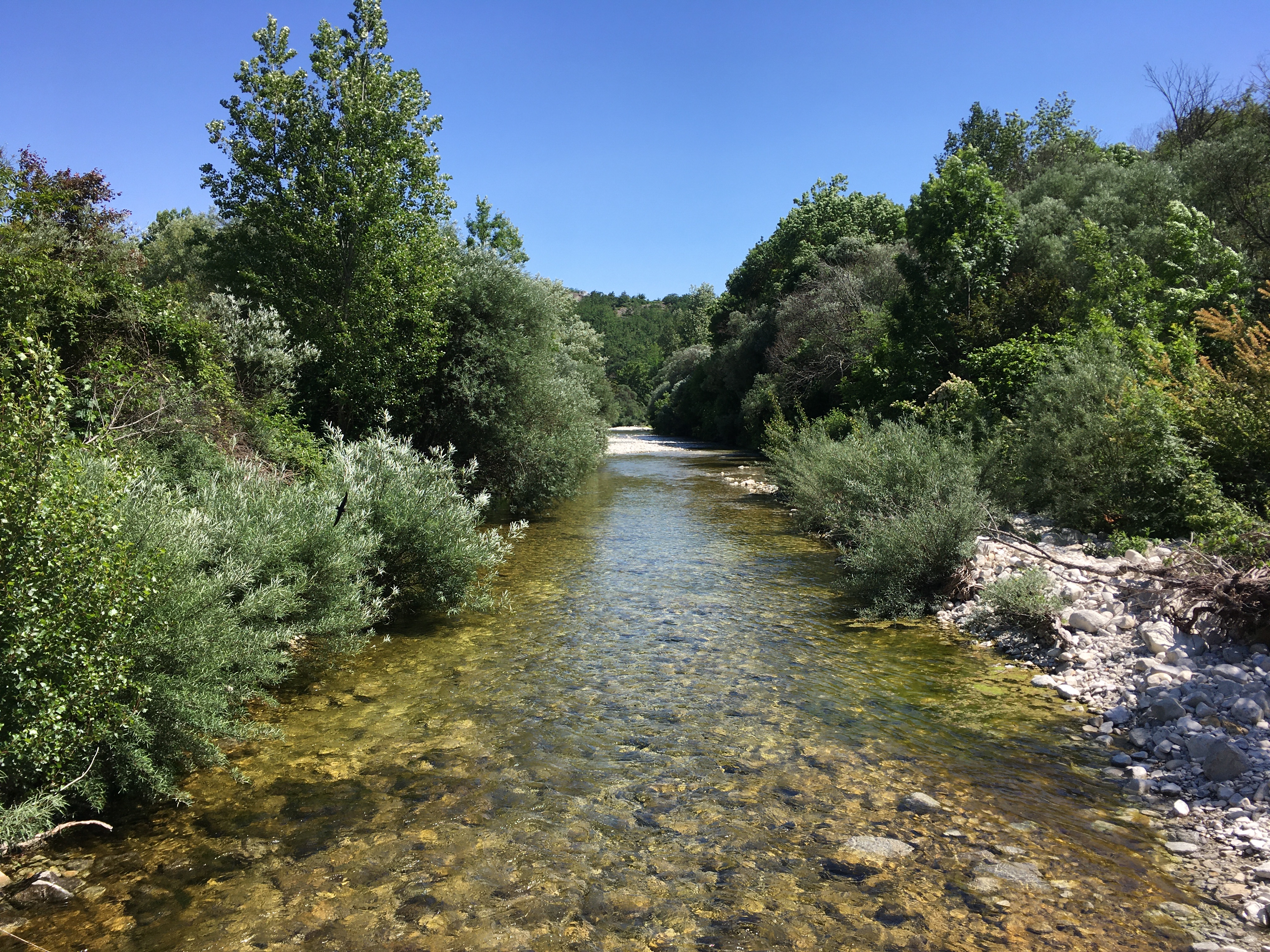
The river is usually dry most of the year but well known such as the ” Hole of the Moon” (the dam of the old mill of “Noé”).
The Ibie valley is full of lush vineyards and rows of lavender, it is the land of limestone as well.
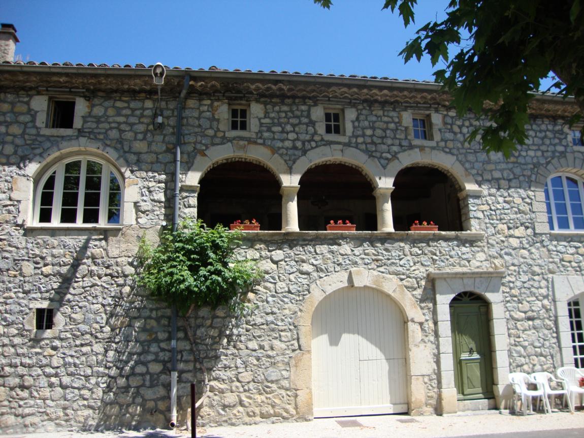
Its homes have “couradous” which are well-ventilated terraces, that are a testament to the Golden Age of Silk and its sericulture and thread making artistry.
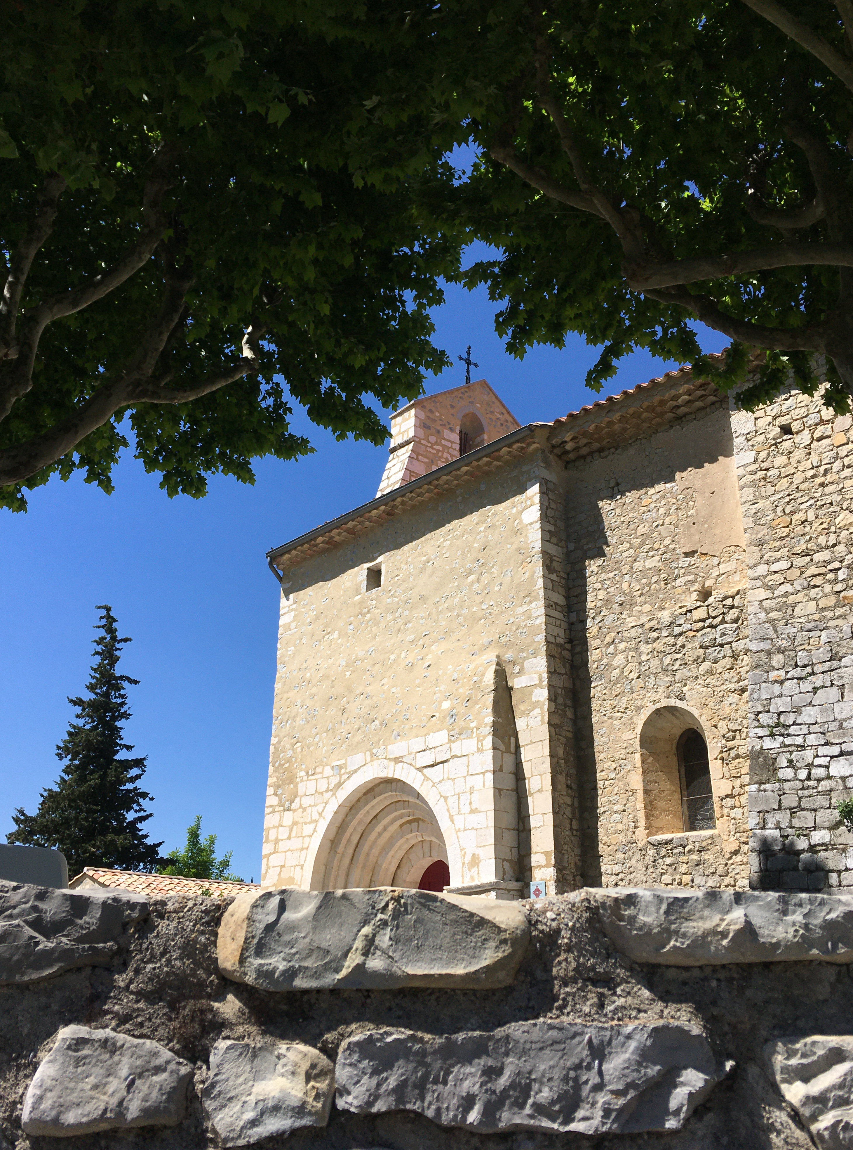
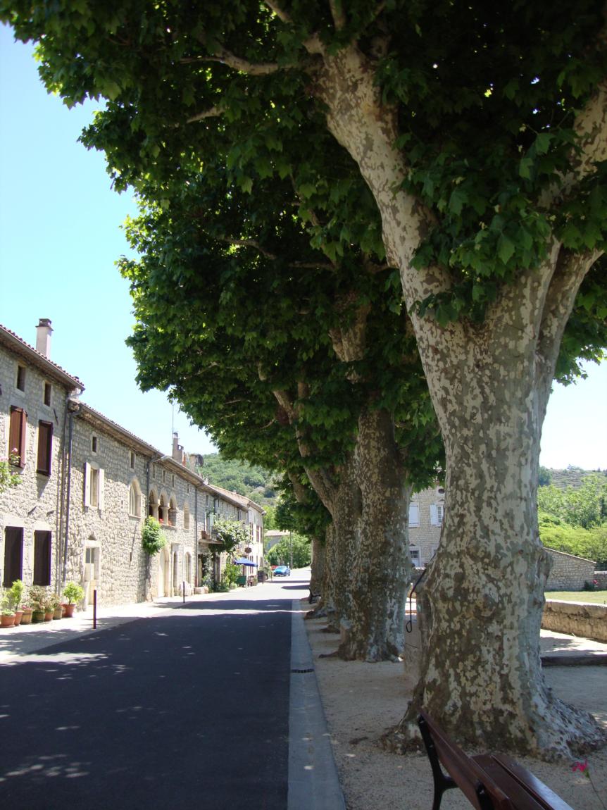
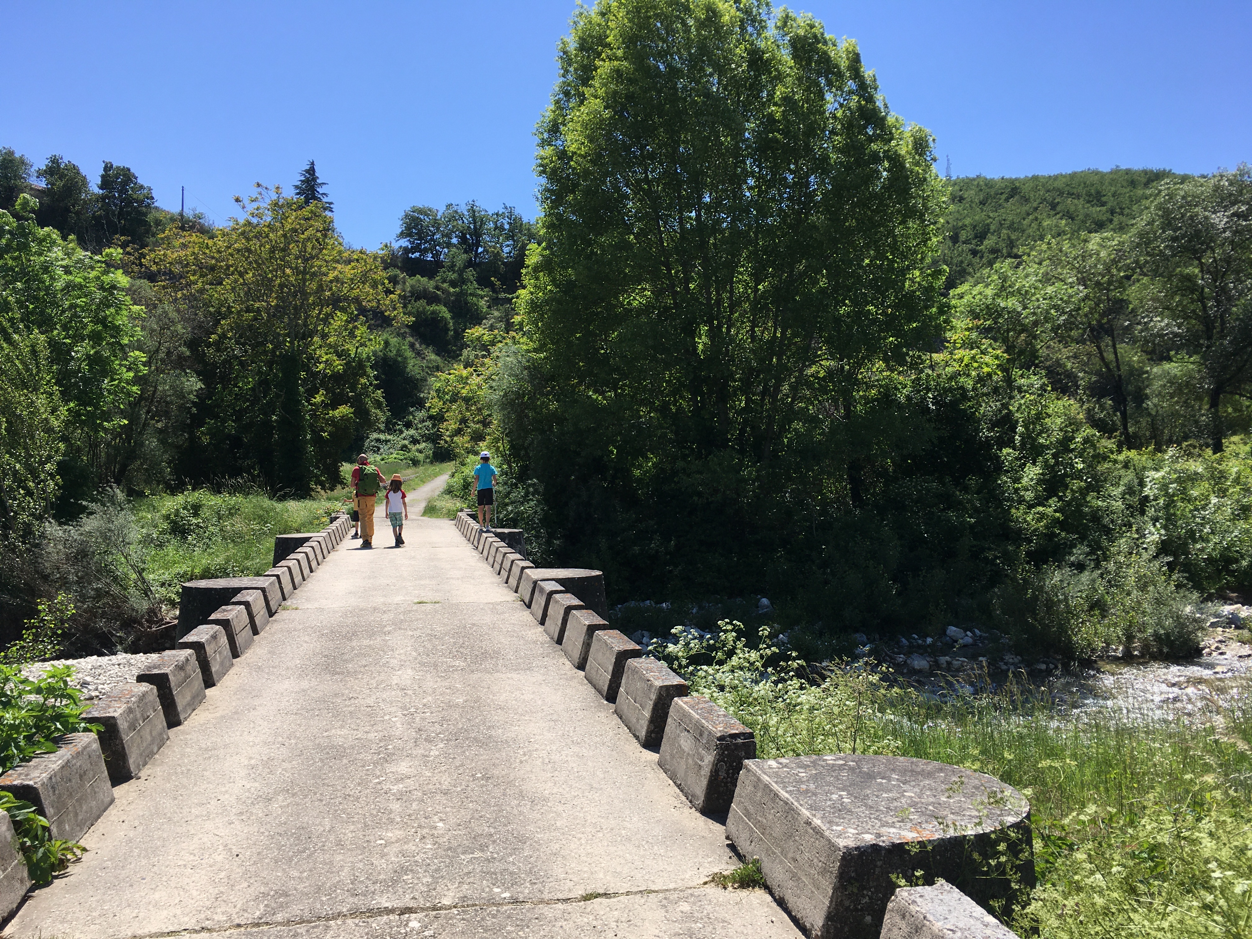
The village is made up of charming stone homes and cobblestone pathways which are perfect for a stroll.
The hamlet of Salèlles is a part of St. Maurice d’Ibie. Regardless of the destruction of many of its arched passageways along the road leading to Vallon Pont d’Arc, there remain beautiful homes with beautiful archways with stairs at its exterior and two bread ovens, one belonging to the town and the other to a private owner. The high cypres trees not far from the hamlet, mark a number of cemetaries belonging to Protestant families.
We also propose:
- Eglise de Saint-Maurice-d'Ibie
- Maisons à "Couradou"
- Village de Saint-Pons
- Village de Saint-Germain
- Village de Berzème
- Village de Saint-Andéol-de-Berg
- Village de Darbres
- Village de Lussas
- Village de Sceautres
- Village de Mirabel
- Village de Saint-Jean-le-Centenier
- Village de Saint-Gineys-en-Coiron
- Ville de Villeneuve-de-Berg
- Fours à pains anciens
- Circuit Randoland pour les enfants à St Maurice d'Ibie
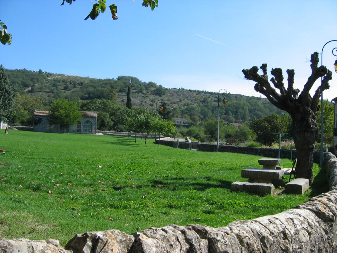
- Aire de pique-nique du village de Saint Maurice d'Ibie
- Parcours-jeu "L'eau c'est la vie"
- Vallée de l'Ibie
- Aire de pique-nique du hameau des Salelles
- Topo-guide "Monts de Berg et Massif du Coiron"
Coordinates
- Adress07170 Saint-Maurice-d'Ibie
- Contact04 75 94 71 41
04 75 94 89 28 - E-mailContact us by e-mail
- Web siteAccess to the siteAccess to the site
- GPS coordinatesLatitude : 44.50024
Longitude : 4.486542